206.623.8747
800.727.4430
SEARCH
MENU
0 items
|
$0.00
|
cart
Checkout
Customer Log In
Home
3D Woodcharts
USGS Topo Maps
Raised Relief Maps
Nautical Charts
Survey Markers
Globes
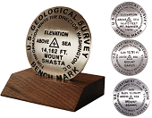
Shop Benchmarks
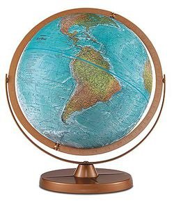
Shop Globes
Shop Guide Books
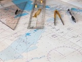
Shop Nautical Charts
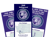
Shop GMU Maps
One moment while we update your order.
/1004/site-assets/dateseal.jpg "Serving Seattle since 1950")
/1004/site-assets/creditcards.png)
/1004/site-assets/phone.png)
/1004/site-assets/cart.png)
/1004/images/1199549.jpg)
/1004/images/1194983.jpg "Asia Travel Maps Countries Regions Cities and More!")
/1004/images/1193690.jpg "USGS Topographic Maps")
/1004/images/1194982.jpg "Cruise Ship Inside Passage Alaska Maps")